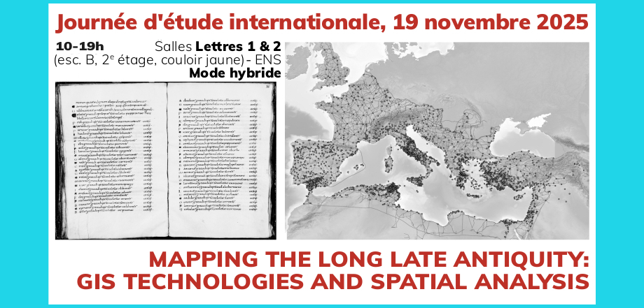
A Conceptual Approach – Mappings Roads – Mapping Cities and Territories – Mapping Episcopal Sees
Mit Beiträgen (unter anderen) von
– Pedro Trapero Fernández (Universidad de Cádiz), GIS and Spatial Analysis in the Study of Antiquity: Current Trends and Research Perspectives
– Laure Laüt (Université Paris 1 Panthéon-Sorbonne / AOROC), Christophe Batardy – Michel Dabas (CNRS-UMR8546 AOROC-ENS-PSL), CASTOR et Chronocarto : un projet collaboratif de cartographie des territoires du début à la fin de l’empire romain
– Tom Brughmans – Adam Pazout – Pau de Soto Cañamares (Universitat Autònoma de Barcelona), Itiner-e. Exploring Empire-wide Mobility and Connectivity Pattern
– José Carlos López Gómez (Universität Hamburg/Universidad de Málaga),
CONIBERLA: Connecting Rural Religious Places in Late Antique Iberia (5th-7th centuries)
– Dominic Moreau (HALMA, Université de Lille)– Christophe Batardy (AOROC), L’Atlas historique des sièges épiscopaux de l’Europe centrale et orientale jusqu’en 787. De l’avéré sur le terrain à l’utopie littéraire
19. November 2025
Organisation: Anis Mkacher (CNRS-UMR8546 AOROC-ENS-PSL) – Sabine Panzram (RomanIslam Center Universität Hamburg)
Veranstaltungsort: École normale supérieure, 45 rue d’Ulm, 75005 Paris, Salles Lettres 1 & 2 (esc. B, 2e étage, couloir jaune)
Programm: Mapping the Long Late Antiquity 11.2025